GEOSPATIAL INFORMATION INFRASTRUCTURE RESEARCH GROUP
FACULTY OF BUILT ENVIRONMENT AND SURVEYING
Geospatial Information Infrastructure Research Group (GeoI²)
The Geospatial Information Infrastructure (GeoI²) research group at Universiti Teknologi Malaysia is an innovative hub for advancing the foundations of Geographical Information Systems (GIS), with a focused mission to design, develop, and implement next-generation systems for modelling complex 3D urban environments, buildings, and natural landscapes.
Our core research themes span across 3D city modelling, 3D spatial data modelling, 3D topology, 3D spatial analysis, 3D data management, 3D cadastre, 3D navigation, and 3D disaster and environmental modelling. Through these integrated research areas, GeoI² addresses emerging urban challenges and enables smarter, data-driven solutions for sustainable development.
Comprising a diverse team of faculty members, postdoctoral researchers, and postgraduate students (PhD and MPhil), GeoI² is committed to pushing the boundaries of geospatial science. We foster a collaborative and forward-thinking research environment to deliver impactful contributions for both academic advancement and real-world applications.
TEAM MEMBERS

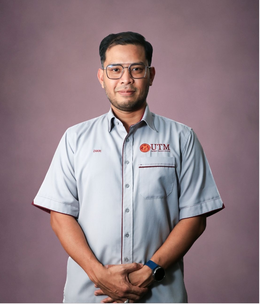
Ts Gs Dr. Mohammad Zakri bin Tarmidi
zakritarmidi@utm.my
http://people.utm.my/zakritarmidi
Research Expertise
Geographic Information Science
Spatial Data Infrastructure
Spatial Analysis

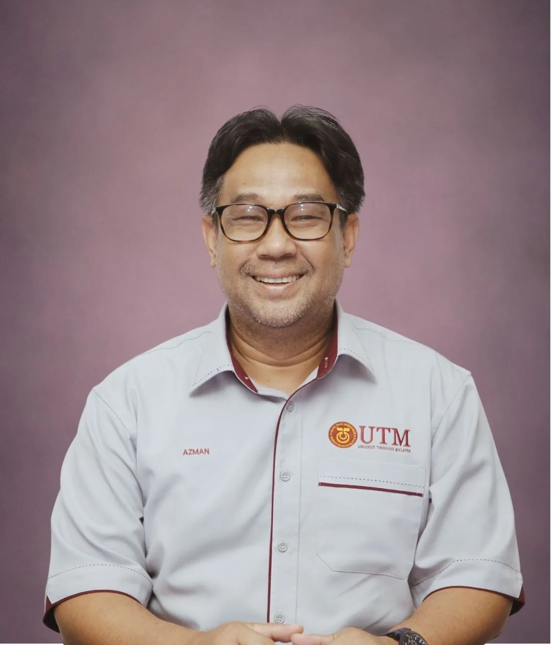
Ts Gs Dr. Azman bin Ariffin
azmanariffin@utm.my
http://people.utm.my/azmanariffin
Research Expertise
Geographical Information Science
Urban GIS
Sustainable Urban Development

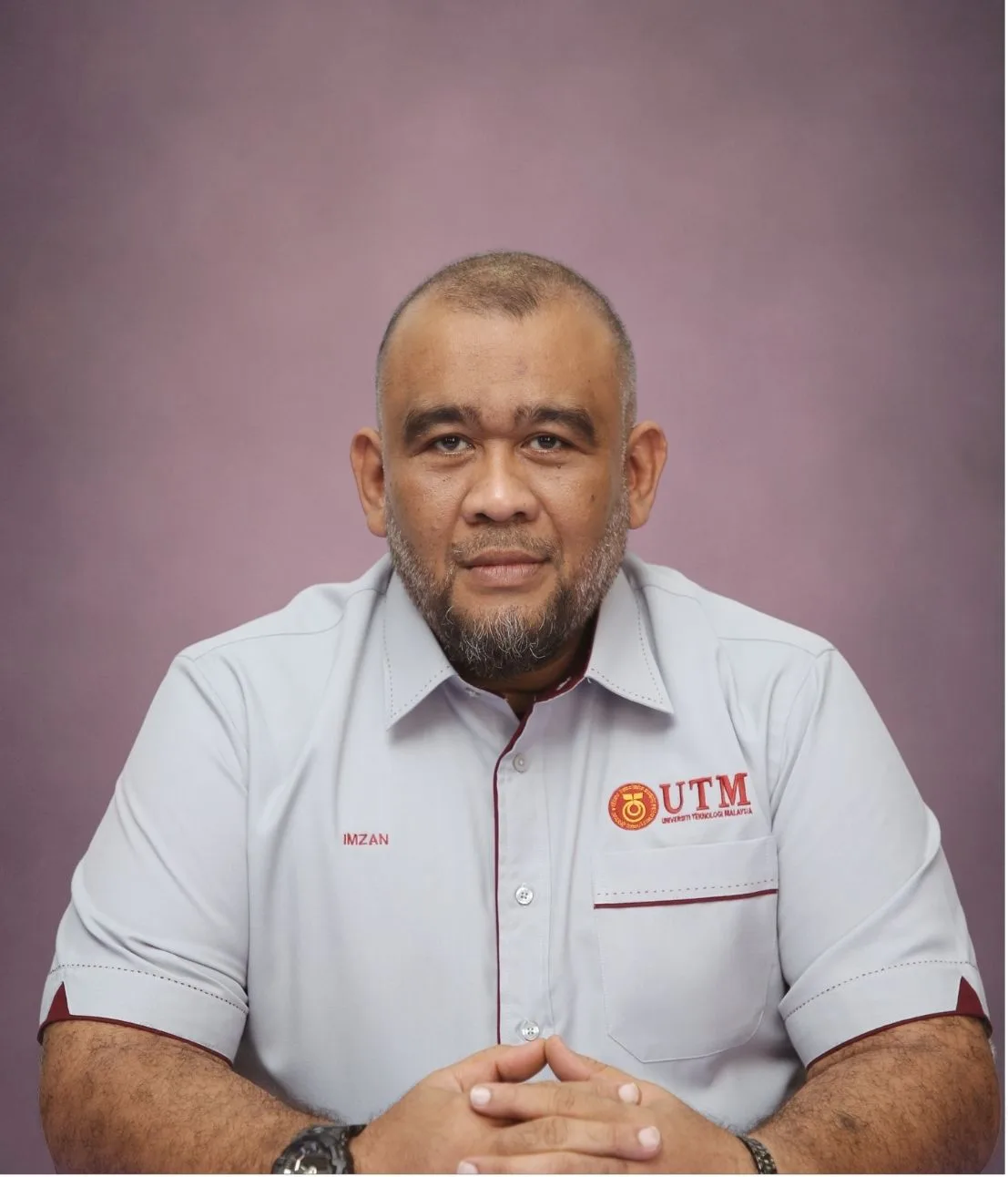
Sr Ts Dr. Muhammad Imzan bin Hassan
imzan@utm.my
http://people.utm.my/imzan
Research Expertise
3D Marine Cadastre
Cartography and Geospatial Mapping
Geographic / Hydrographic Information

Sr Dr. Ivin Amri bin Musliman
ivinamri@utm.my
http://people.utm.my/ivinamri
Research Expertise
3D City Modelling
Internet GIS
Geospatial Information Technology
Assoc. Prof. Sr Dr. Zulkarnaini Bin Mat Amin
zulkarnaini@utm.my
http://people.utm.my/alice
Research Expertise
Subsurface Detection & Surveying
Dynamic Structural Monitoring
High precision surveying
Assoc. Prof. Sr Gs Dr. Muhamad Uznir bin Ujang
mduznir@utm.my
http://people.utm.my/mduznir
Research Expertise
Multidimensional Geospatial Topology
3D City Modelling
Geographic Information Science (GIS)
Dr. Nor Suhaibah binti Azri
suhaibah@utm.my
http://people.utm.my/suhaibah
Research Expertise
3D GIS
Geospatial Big Data
Geoclustering

