GEOSPATIAL IMAGING & INFORMATION RESEARCH GROUP
FACULTY OF BUILT ENVIRONMENT AND SURVEYING
Geospatial Imaging and Information (GI2RG)
Geospatial Imaging and Information (GI2RG) refers to the integrated field that combines the acquisition, processing, analysis, and visualization of spatial data about the Earth’s surface and phenomena.
What is Geospatial Imaging?
Geospatial imaging encompasses a variety of graphical products that convey information about natural and human-made features on Earth’s surface. This includes:
- Aerial photographs (colour and panchromatic/black-and-white), which are taken from aircraft or satellites.
- Multispectral and hyperspectral imagery, which capture data across multiple bands of the electromagnetic spectrum, including those beyond human vision. These images can reveal details about vegetation, minerals, water bodies, and more.
- Synthetic Aperture Radar (SAR) images, which use actively emitted radio signals to generate detailed topographic maps, even though cloud cover.
- 3D images and shaded relief maps produced from digital elevation models, providing insights into terrain and landscape features.
The resolution and quality of geospatial imagery have improved dramatically over time, enabling detailed analysis for both public and private sector needs.
What is Geospatial Information?
Geospatial information refers to the data and knowledge derived from geospatial imaging. This information is managed, analysed, and visualized using Geographic Information Systems (GIS) and related technologies. GIS allows users to:
- Combine different types of imagery and data (e.g., overlaying road networks on satellite images).
- Analyse spatial patterns and relationships (such as mapping hazardous chemical storage or tracking urban growth).
- Support decision-making in fields like agriculture, disaster response, law enforcement, and environmental management.
The Role of GI2RG
- Developing new imaging techniques and sensors.
- Improving data processing algorithms for better accuracy and efficiency.
- Creating innovative visualization tools, including extended reality (virtual, augmented, and mixed reality) for immersive geospatial analysis.
- Applying geospatial intelligence for national security, resource management, and societal benefit.
Applications and Impact
- Environmental monitoring (tracking deforestation, water resources, climate change).
- Urban and regional planning (mapping infrastructure, analysing land use).
- Disaster management (assessing damage, planning evacuations).
- Forensic and criminal investigations (locating missing persons, analysing crime scenes).
National security and defence (surveillance, terrain analysis)
Geospatial Imaging and Information (GI2RG) represents a dynamic and evolving field at the intersection of imaging technology, data science, and spatial analysis. By harnessing advanced sensors, sophisticated software, and powerful visualization tools, GI2RG enables deeper insights into the Earth’s surface and processes, supporting informed decision-making across a wide array of disciplines.
TEAM MEMBERS
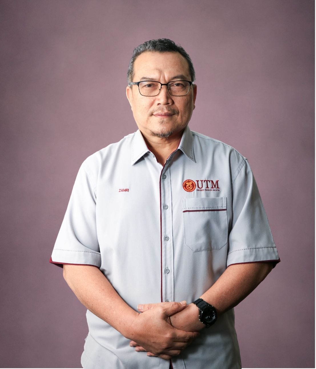
Dr. Zamri Bin Ismail
zamriismail@utm.my
http://people.utm.my/zamriismail
Research Expertise
Geospatial Database
Geopastial Information Science (GIS)
Airborne LiDAR Mapping
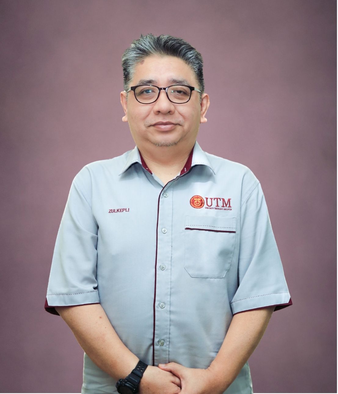
Prof. Dr. Zulkepli bin Majid
zulkeplimajid@utm.my
http://people.utm.my/zulkeplimajid
Research Expertise
Surveying Science & Geomatic
Sr Dr. Abdul Wahid bin Rasib
abdwahid@utm.my
http://people.utm.my/abdwahid
Research Expertise
–
–
–
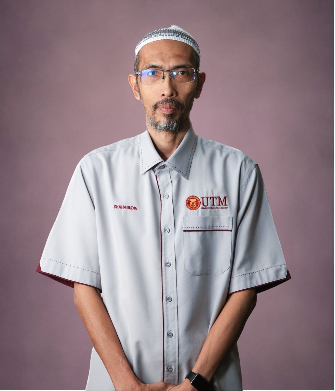
Dr. Shahabuddin bin Amerudin
@utm.my
http://people.utm.my/
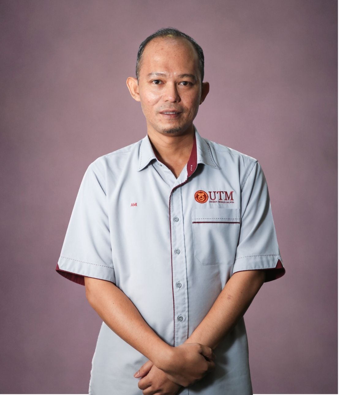
Assoc. Prof. Sr Dr. Ami Hassan bin Md. Din
amihassan@utm.my
http://people.utm.my/
Research Expertise
Geodesy
Marine Geodesy
Geodetic Observation
Assoc. Prof. Sr Ts Dr. Mohd Faisal bin Abdul Khanan
mdfaisal@utm.my
http://people.utm.my/mdfaisal
Research Expertise
Spatial Tourism
Spatial Disaster
Spatial Social Science
Dr. Khairulnizam bin M. Idris
khairulnizami@utm.my
http://people.utm.my/khairulnizam
Research Expertise
Industrial Surveying
Deformation Surveying
LiDAR Mapping
Sr Dr. Mohd Farid bin Mohd Ariff
mfaridma@utm.my
http://people.utm.my/mohdfarid
Research Expertise
Close Range Photogrammetry (CRP)
Structure-from-Motion (SfM) Photogrammetry
3D Laser Scanning
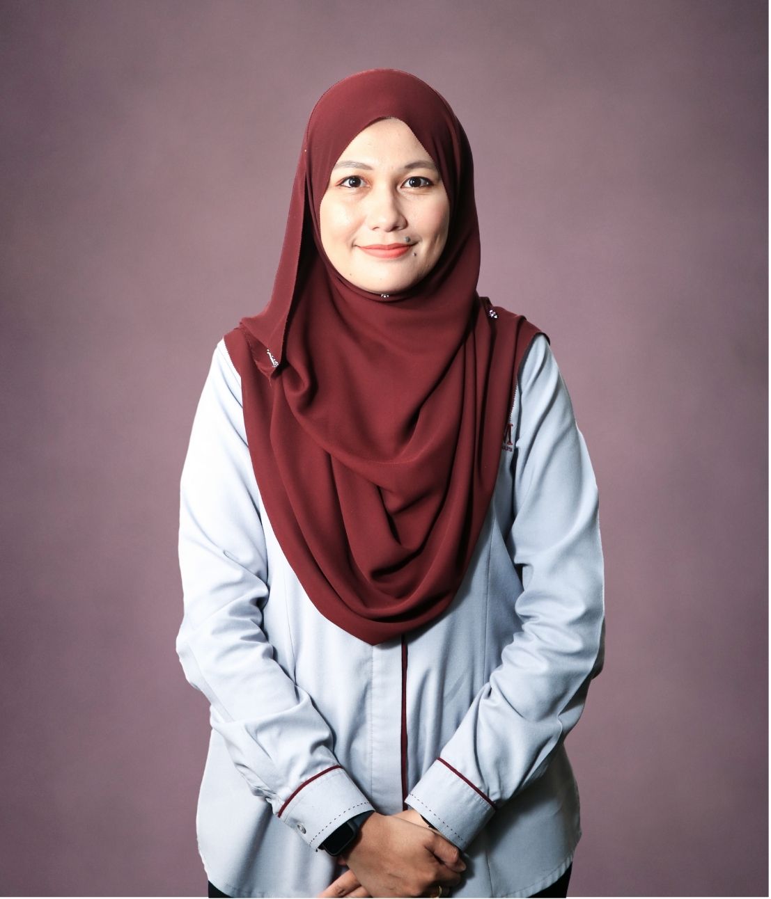
Dr. Norhadija Binti Darwin
norhadija2@utm.my
http://people.utm.my/
Research Expertise
UAV Photogrammetry
Geomatics Engineering
Engineering Surveying
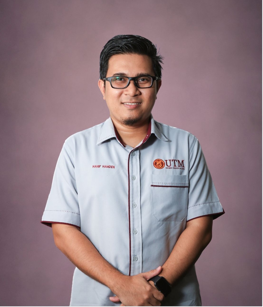
Dr. Mohammad Hanif Bin Hamden
mohammad.hanif@utm.my
http://people.utm.my/mohammad-hanif
Research Expertise
Geomatics Engineering
Hydrography
Marine Geodesy

